Services
Professional aerial solutions to help your business capture, analyze,
and optimize from above
Aerial Mapping & Surveying
High-precision topographic mapping, land surveying, and 3D modeling
using advanced drone technology and photogrammetry software.
Infrastructure Inspection
Safe and efficient inspection of buildings, bridges, power lines, and
industrial facilities using thermal and high-resolution cameras.
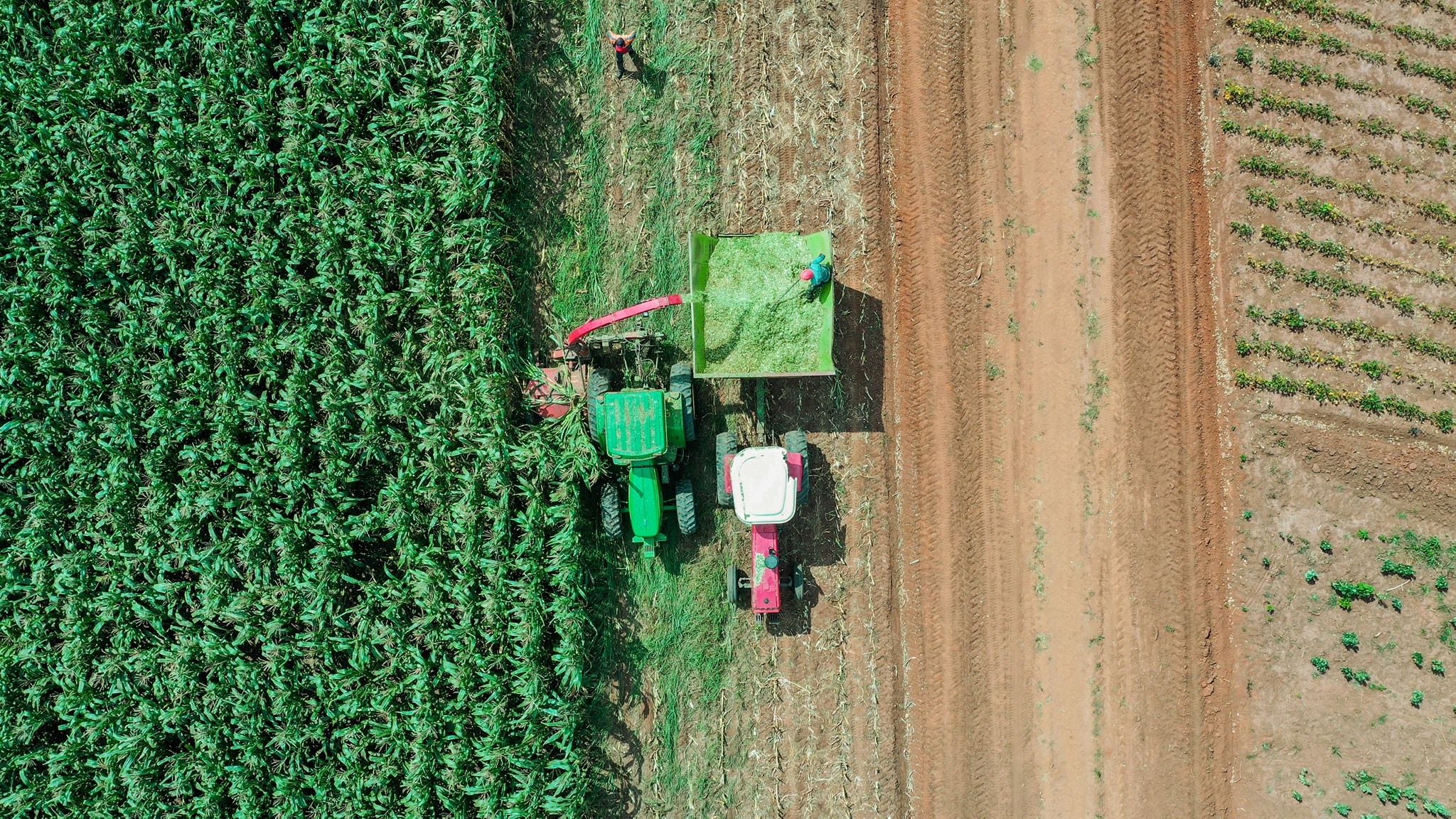
Agricultural Monitoring
Precision agriculture solutions including crop health monitoring,
yield estimation, and irrigation planning using multispectral imaging.
Aerial Photography & Video
Professional aerial photography and cinematography for real estate,
events, marketing, and documentation projects.
Search & Rescue
Emergency response support with thermal imaging and real-time
surveillance for search and rescue operations in challenging terrains.
Training & Consulting
Professional drone pilot training, certification assistance, and
strategic consulting for organizations looking to integrate drone
technology.