
PROJECTS

Infrastructure Monitoring
DroneNerds Africa was contracted to help in progress reporting for the Isimba Dam project. We also helped to carry out environment impact assessment in relation to geographical data.
Inspection of Isimba Dam - Infrastructure works monitoring

Humanitarian Support
Bidi Bidi Refugee Settlement is the largest refugee camp in Uganda. We were contracted by GIZ and the Office of the Prime Minister in Uganda on a study to understand the livelihood and settlement of the occupants.
Bidi Bidi Refugee Settlement - Humanitarian support projects

Tourism and Events
Over the years, DroneNerds Africa has been involved in a number of tourism drives. The Uganda Martyrs' Day is among the most popular events among the faithfuls in the East African region. It's always an honour for us to get involved.
Namugongo Catholic Shrine - Tourism and events coverage
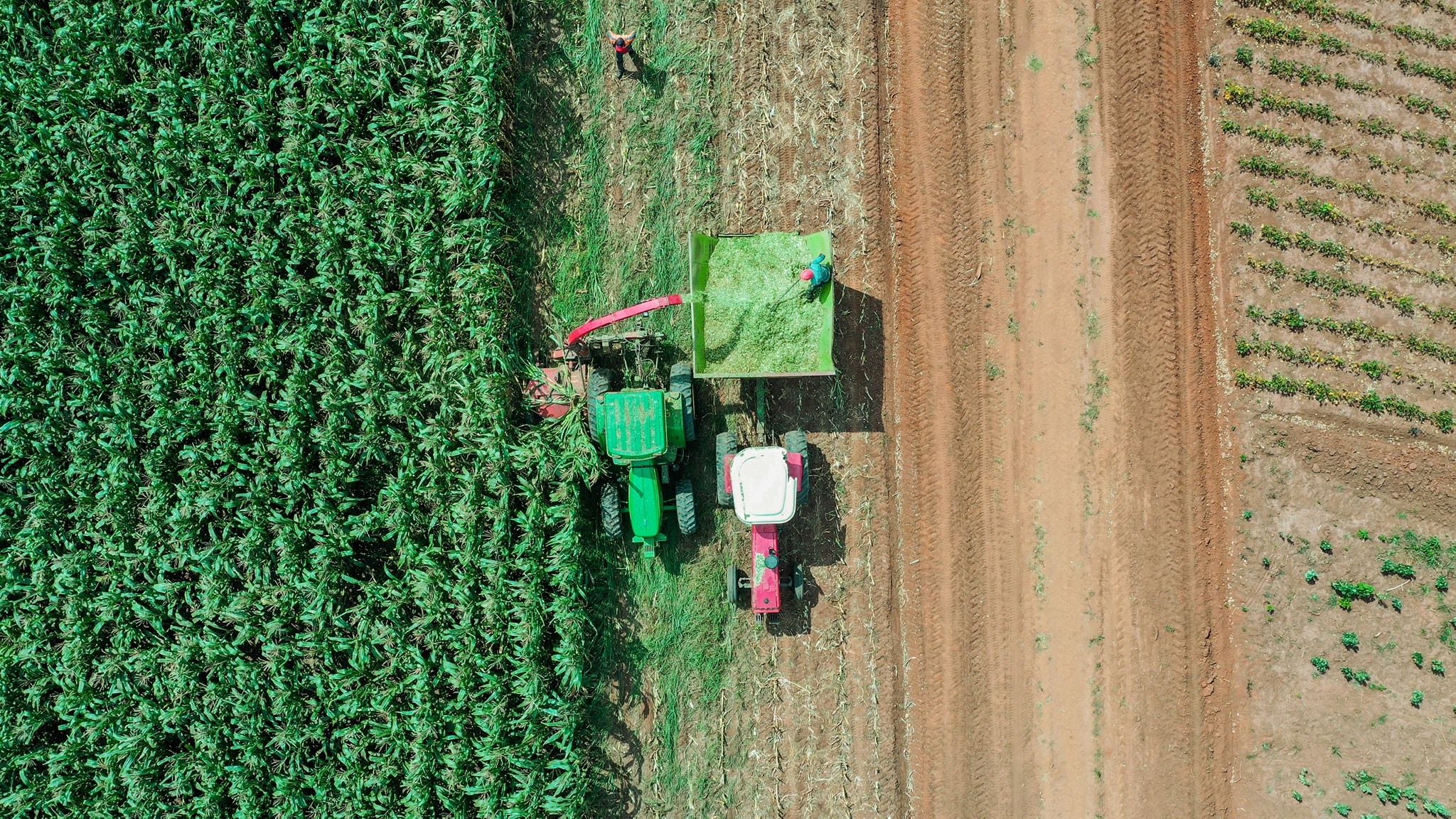
Agriculture
DroneNerds Africa has operated across many different farms across Uganda. From spraying to employing LiDar assistive technologies with an aim of helping large scale farmers make informed decisions regarding their farms.
Agricultural Farm Activity - Precision agriculture solutions