August 15, 2025
Precision Agriculture: How Drone Mapping is Revolutionizing African Farming
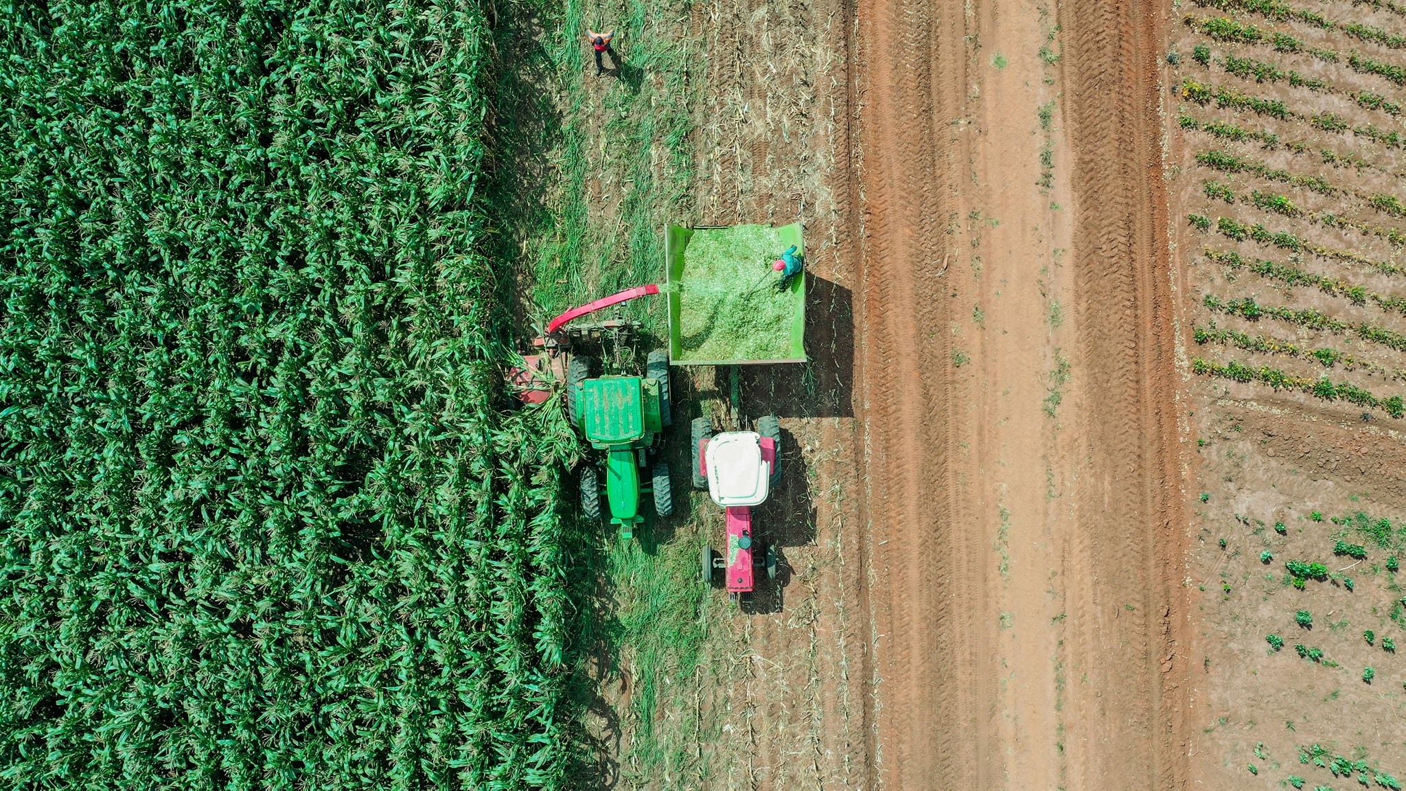
The agricultural landscape across Africa is experiencing a technological revolution, with drone-based precision agriculture leading the charge. As traditional farming methods face challenges from climate change, resource scarcity, and growing food demand, innovative aerial solutions are providing farmers with unprecedented insights into their crops and land.
The Power of Aerial Perspective
Drone mapping technology offers farmers a bird’s-eye view of their operations that was previously impossible or prohibitively expensive. Using advanced sensors and imaging techniques, agricultural drones can capture detailed data about crop health, soil conditions, irrigation needs, and pest infestations across vast areas in a matter of hours.
Key benefits of drone-based agricultural mapping:
- Crop health monitoring - Early detection of diseases and nutrient deficiencies
- Precision irrigation - Optimize water usage with targeted application maps
- Yield prediction - Accurate harvest forecasting for better planning
- Pest and disease management - Identify problem areas before they spread
- Field boundary mapping - Precise acreage calculations for planning and insurance
Technology in Action
Our multispectral imaging systems capture data beyond what the human eye can see. By analyzing near-infrared, red-edge, and visible light spectrums, we can create detailed NDVI (Normalized Difference Vegetation Index) maps that reveal crop stress indicators weeks before they become visible to ground-based observation.
The typical agricultural mapping workflow:
- Pre-flight planning - Define survey areas and flight parameters
- Data collection - Autonomous flight with GPS-guided precision
- Image processing - Photogrammetry and multispectral analysis
- Report generation - Actionable insights and recommendation maps
- Implementation - Targeted treatment based on data-driven decisions
Real-World Impact
Case studies from across Africa demonstrate the transformative potential of precision agriculture:
- Kenyan tea plantations seeing 15-20% yield increases through targeted fertilizer application
- South African wine farms reducing water usage by 30% with precision irrigation mapping
- Nigerian maize farmers detecting crop diseases 2-3 weeks earlier than traditional methods
- Ethiopian coffee growers optimizing harvest timing for premium bean quality
The Future of African Agriculture
As drone technology becomes more accessible and affordable, we’re seeing rapid adoption across diverse agricultural sectors. From smallholder farmers using basic RGB mapping to large commercial operations implementing full precision agriculture systems, the technology is scalable and adaptable.
Emerging trends in agricultural drone applications:
- AI-powered crop analysis - Machine learning for automated problem detection
- Variable rate application - Precise fertilizer and pesticide delivery
- Livestock monitoring - Aerial tracking and health assessment
- Supply chain integration - Real-time data sharing with buyers and processors
The convergence of drone technology, satellite imagery, and IoT sensors is creating an interconnected agricultural ecosystem that promises to make farming more efficient, sustainable, and profitable across the African continent.
Getting Started with Agricultural Drone Mapping
For farmers interested in implementing drone technology:
- Start with basic crop health surveys during growing season
- Partner with certified drone service providers for initial assessments
- Focus on high-value crops or problem areas first
- Integrate drone data with existing farm management systems
- Train farm staff on interpreting and acting on aerial insights
The future of African agriculture is taking flight, and drone mapping technology is providing the navigation system for this transformation.