August 5, 2025
The Future of Mining: How Drone Surveying is Transforming Resource Extraction in Africa
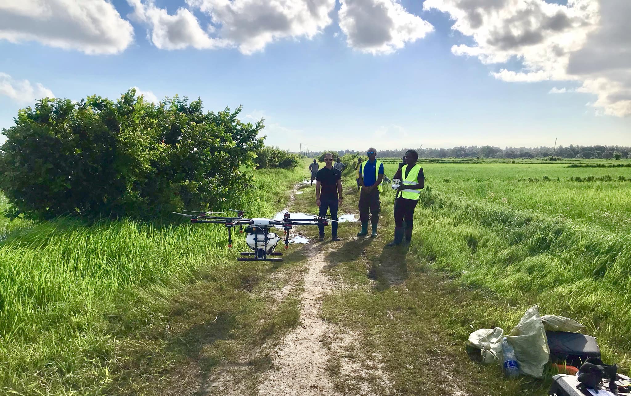
Africa’s mining industry, a cornerstone of economic development across the continent, is experiencing a technological transformation through advanced drone surveying capabilities. From gold mines in Ghana to diamond operations in Botswana, drone technology is providing mining companies with unprecedented accuracy, safety improvements, and operational insights.
Challenges in Traditional Mining Surveying
Mining operations have historically relied on ground-based surveying methods that are time-consuming, labor-intensive, and often dangerous. Traditional surveying methods face significant challenges in active mining environments:
Traditional surveying limitations:
- Safety risks - Personnel exposure to unstable terrain and active operations
- Time requirements - Extensive ground surveys can take weeks to complete
- Access limitations - Some areas too dangerous or inaccessible for ground teams
- Accuracy constraints - Human error and equipment limitations affect precision
- Operational disruption - Surveying often requires stopping mining activities
Drone Technology Advantages
Modern mining drones equipped with advanced sensors and GPS systems offer solutions that address traditional surveying challenges while providing enhanced capabilities:
Key technological benefits:
- Enhanced safety - Eliminate personnel exposure to hazardous areas
- Rapid data collection - Complete site surveys in hours versus weeks
- Centimeter-level accuracy - GPS and sensor fusion for precise measurements
- Comprehensive coverage - Access to all areas including dangerous zones
- Minimal disruption - Operations continue during most surveying activities
Applications in Mining Operations
Volumetric Analysis and Stockpile Management
Accurate measurement of material volumes is critical for mining operations, affecting everything from production planning to financial reporting.
Stockpile measurement capabilities:
- Automated volume calculations - Precise measurement of ore and waste stockpiles
- Inventory tracking - Regular monitoring of material quantities
- Quality assessment - Material segregation and contamination detection
- Production optimization - Data-driven material handling decisions
Case Example: A copper mine in Zambia reduced stockpile measurement time from 3 days to 4 hours while improving accuracy by 15%, resulting in better production planning and inventory management.
Open Pit Mine Monitoring
Open pit operations benefit significantly from regular aerial surveys that track progress, identify safety hazards, and optimize extraction patterns.
Monitoring applications:
- Excavation progress tracking - Regular documentation of mining advancement
- Slope stability analysis - Early warning systems for potential failures
- Haul road planning - Optimal route design and maintenance scheduling
- Environmental compliance - Rehabilitation area monitoring and reporting
Underground Mine Surface Operations
While drones cannot operate in underground environments, they provide valuable services for surface operations supporting underground mining:
- Ventilation system monitoring - Surface equipment and infrastructure inspection
- Waste management - Tailings facility monitoring and environmental compliance
- Transportation infrastructure - Access road and facility condition assessment
- Emergency response planning - Evacuation route planning and safety assessment
Technical Specifications and Capabilities
Our mining survey drones incorporate specialized technology designed for the demanding requirements of mining environments:
Survey-Grade GPS Systems
- RTK GPS capabilities - Real-time kinematic positioning for centimeter accuracy
- Multi-constellation support - GPS, GLONASS, and Galileo for optimal coverage
- Base station integration - Enhanced accuracy through local reference points
- Coordinate system compatibility - Integration with existing mining survey systems
Advanced Imaging Systems
- High-resolution photography - Detailed visual documentation and analysis
- LiDAR integration - Precise 3D point cloud generation for complex terrain
- Multispectral imaging - Material identification and quality assessment
- Thermal imaging - Equipment monitoring and environmental assessment
Data Processing and Analysis
Professional photogrammetry software processes aerial imagery to create detailed 3D models and precise measurements:
Processing capabilities:
- Point cloud generation - Millions of 3D coordinate points for detailed analysis
- Digital surface models - Accurate terrain representation for planning
- Orthomosaic mapping - Georeferenced imagery for GIS integration
- Volume calculations - Automated measurement with cut-and-fill analysis
Operational Workflow
Successful mining surveys require systematic approaches that integrate with existing operations:
Survey Planning Phase:
- Operational coordination - Schedule integration with mining activities
- Safety assessment - Hazard identification and mitigation planning
- Flight path optimization - Efficient coverage with required accuracy
- Ground control placement - Survey markers for enhanced precision
Data Collection Phase:
- Pre-flight systems check - Equipment verification and safety protocols
- Autonomous flight execution - GPS-guided survey patterns
- Real-time monitoring - Quality control and coverage verification
- Data validation - Initial processing and accuracy assessment
Analysis and Reporting Phase:
- Data processing - Photogrammetry and 3D model generation
- Measurement extraction - Volume calculations and change detection
- Report generation - Professional deliverables with actionable insights
- Integration support - Data transfer to mining software systems
Economic Impact and ROI
Mining companies implementing drone surveying report significant returns on investment:
Cost Benefits:
- Labor cost reduction - 70% fewer personnel hours for surveying tasks
- Equipment savings - Reduced need for expensive ground surveying equipment
- Operational efficiency - Faster decision-making through timely data
- Safety cost avoidance - Reduced accidents and insurance claims
Revenue Enhancement:
- Production optimization - Better resource allocation and planning
- Inventory accuracy - Precise material tracking and financial reporting
- Compliance efficiency - Streamlined regulatory reporting and approvals
- Operational insights - Data-driven improvements and innovations
Environmental and Safety Benefits
Beyond economic advantages, drone surveying contributes to improved environmental stewardship and safety outcomes:
Environmental Monitoring:
- Rehabilitation tracking - Progress monitoring of restored areas
- Water management - Drainage and containment system assessment
- Vegetation monitoring - Environmental impact assessment and mitigation
- Air quality assessment - Dust and emission monitoring capabilities
Safety Improvements:
- Hazard identification - Early detection of unstable areas and equipment issues
- Emergency response - Rapid assessment capabilities for incident response
- Personnel safety - Reduced exposure to dangerous mining environments
- Equipment monitoring - Preventive maintenance through regular inspection
Integration with Modern Mining Technology
Drone surveying integrates seamlessly with other advanced mining technologies:
- Fleet management systems - Integration with haul truck dispatch and optimization
- Mine planning software - Direct data import for production planning
- Environmental monitoring - Continuous assessment and compliance reporting
- IoT sensors - Combined data streams for comprehensive operational intelligence
Future Developments
Emerging technologies continue to enhance drone surveying capabilities for mining operations:
- AI-powered analysis - Automated feature detection and anomaly identification
- Real-time processing - On-site data analysis and immediate insights
- Autonomous operations - Fully automated survey missions with minimal human intervention
- Advanced sensors - Hyperspectral imaging and ground-penetrating capabilities
The integration of drone surveying technology in African mining operations represents more than just technological advancement—it embodies a commitment to safer, more efficient, and environmentally responsible resource extraction that benefits both mining companies and the communities they serve.
Professional drone surveying services provide mining operations with the accurate, timely, and comprehensive data needed to optimize production, ensure safety, and maintain environmental compliance in an increasingly competitive global market.